How Oregon Built Its Blue Carbon Greenhouse Gas Inventory
State leverages coastal wetlands to help address climate change
Overview
State governments have an important role to play in tackling climate change. By developing strategies and targets to remove climate-warming greenhouse gases (GHGs) from the atmosphere and curbing new GHG emissions, they can help support their economies and make communities and ecosystems more resilient to rising temperatures.1
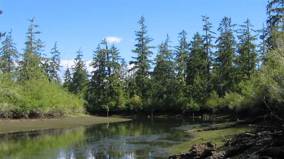
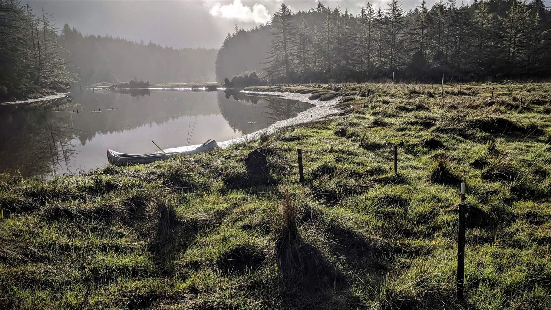
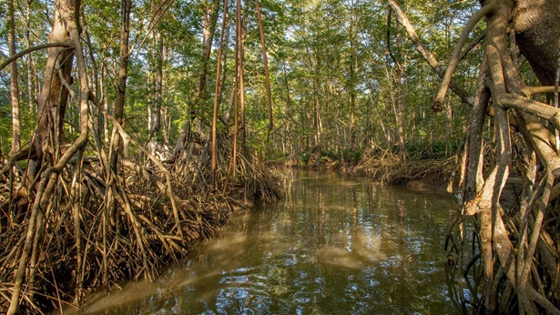
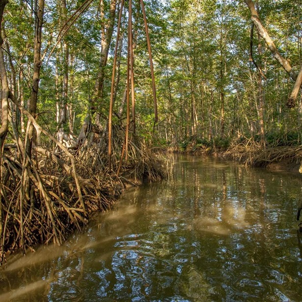
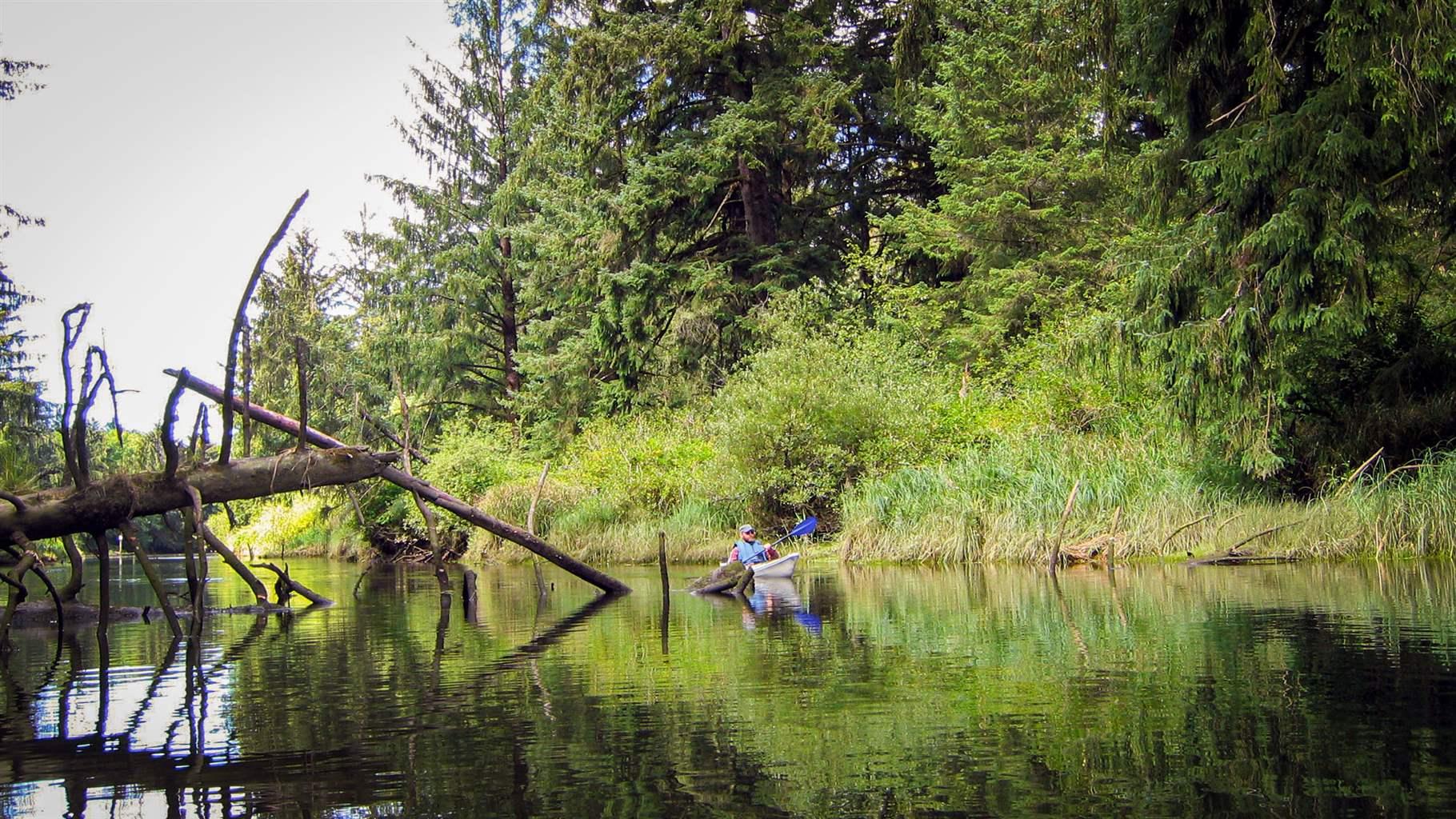
Oregon is addressing this challenge through improved land and resource management—including of “natural and working lands,” such as farms, ranches, forests, grasslands, and wetlands. For example, the state is one of the first to create a plan for evaluating, protecting, and restoring coastal wetlands to support GHG reduction goals. The habitats that dominate these landscapes—seagrass, salt marsh, scrub-shrub wetland, and forested tidal wetland—are among the planet’s most important natural carbon sinks; they capture and store far more carbon in their vegetation and underlying sediments than they naturally release. This sequestered carbon is known as “blue carbon.”
Conversely, when allowed to degrade, coastal wetlands release stored carbon back into the atmosphere, accelerating climate change. Recognizing the importance of blue carbon, Oregon coastal land managers and technical experts created a greenhouse gas inventory (GGI) to identify, assess, and conserve the state’s coastal blue carbon ecosystems. Measuring blue carbon in this way—using science-based estimates of GHG emissions and removals (i.e., capture and storage)—is an essential step in tracking coastal ecosystems’ health and climate change benefits over time.
As part of that effort, research by scientists, coastal managers, and other experts determined that as a result of state protections, Oregon’s coastal wetlands—and the carbon they store—have been stable since at least 1990.2 Even more eye-opening, recent assessments show that by 2050, every 1,000 acres of restored forested tidal wetlands would sequester roughly as much carbon as removing 40,000 cars from the state’s roadways for a single year.3
Oregon’s innovations and successes offer other states a roadmap for protecting, restoring, and managing coastal wetlands as a central part of climate mitigation and resilience efforts. This issue brief provides an overview of Oregon’s approach to maximizing the climate benefits of its coastal wetlands.
Oregon’s strategy
Over most of the past century, diking, draining, and other land use practices devastated Oregon’s coastal wetlands, leading to the loss of 95% of its forested tidal wetlands and nearly 60% of tidal emergent wetlands.4
In 2020, Oregon Governor Kate Brown called on the Oregon Global Warming Commission—a state advisory board charged with tracking trends and recommending ways to reduce GHG emissions—to propose goals for carbon sequestration in the state’s natural and working lands and to develop a plan to meet those objectives.5
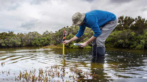
A technical team, made up of scientists, wetland specialists, and coastal management officials, then worked to establish the state’s blue carbon GGI and used the results to develop policy and management recommendations to support Oregon’s coastal wetland ecosystems.
What Data Does a Coastal Wetlands Greenhouse Gas Inventory Include?
- Coastal land cover types, including scrub-shrub, forested tidal wetlands, and emergent wetlands.
- Annual changes in land cover, such as conversion of wetlands to agricultural lands or to open water because of sea-level rise.
- Amount of carbon currently stored in the habitat.
- Rate of annual new carbon storage, calculated using either local research data or internationally accepted default values from the United Nations Intergovernmental Panel on Climate Change’s (IPCC) “2013 Supplement to the 2006 IPCC Guidelines for National Greenhouse Gas Inventories: Wetlands.”6
- Other naturally occurring greenhouse gas emissions, such as methane or nitrous oxide.
The technical team modeled the inventory after the U.S. Environmental Protection Agency’s (EPA) Inventory of Greenhouse Gas Emissions and Sinks, commonly known as the national greenhouse gas inventory (NGGI), which in turn, is based on guidance from the IPCC’s 2013 wetlands supplement.7 This approach ensured that the state’s data was consistent with national and international reporting, and that high-quality, Oregon-specific data would be included in future NGGI updates.
To complete the state inventory, the blue carbon team relied on data from various sources:
- NGGI. An EPA resource that incorporates data from the National Oceanic and Atmospheric
Administration’s Coastal Change Analysis Program (C-CAP) showing coastal land cover change over time and national-level estimates of carbon emissions and removal values for wetlands environments.
- Coastal Carbon Atlas.8An interactive map showing locations and data for soil cores taken from around the globe.
- Coastal and Marine Ecosystem Classification Standard (CMECS).9 A map of habitat types, including estuaries, along Oregon’s coast.
- Northeast Pacific Regional Blue Carbon Database.10 Carbon emissions and removals data.
- Regional data sets about the extent of Oregon’s historic wetlands and changes over time.11
GGI development process
The technical team followed these steps to create Oregon’s first blue carbon GGI:
- Determine current coastal habitat types and land uses. The team began by documenting the state’s existing wetlands by location and type, such as scrub-shrub, tidal forested, or emergent, using tools provided by the federal government—including the NGGI and the C-CAP—and data from the CMECS.
- Determine the carbon value of habitat types. After defining the extent of land use changes to wetlands over the identified period, the team used local or proxy values from the IPCC to calculate how much carbon was released into or removed from the atmosphere as a result of natural processes and human impacts from specific parts of each wetland habitat.
- Aboveground biomass: Vegetation, such as trees, shrubs, and emergent plants.
- Belowground biomass: Roots and other plant structures beneath the soil or water surface, such as rhizomes—fast-reproducing stems that grow horizontally, usually below ground.
- Soil: Wetland soils that can have high organic content.
- Dead organic matter: Fallen leaves, twigs, woody debris, and other plant detritus in tidal forested and scrub-shrub wetlands.
- Methane (CH4): A potent greenhouse gas that wetlands can naturally emit as a byproduct of microbial processes in waterlogged, oxygen-deprived environments with low salinity (less than 18 practical salinity units, a measure of salt concentration in sea water).
- Nitrous Oxide (N2O): Another powerful greenhouse gas emitted as a result of aqua cultural practices in wetland areas. (Oregon has no state-level data for aquaculture, so this factor was not included in the state’s inventory. However, this information could be available in other states.)
- Setting future blue carbon scenarios: Finally, the team used the carbon values calculated in step two to estimate the carbon sequestration potential of former wetlands and identify areas where wetland restoration could increase blue carbon storage.
Next steps
Initial findings from Oregon’s GGI showed that carbon sinks associated with coastal wetlands have been stable since at least 1990, mainly as a result of effective state wetland protection regulations. They also highlighted how restoring coastal ecosystems, particularly forested tidal wetlands, could increase carbon storage while also filtering and storing water and providing important habitat for the region’s iconic salmon.
The process identified research gaps to be addressed in future updates to the GGI. For example, the first iteration of the inventory did not include Oregon’s abundant eelgrass beds or kelp forests, two near-shore marine habitats that capture and store carbon. The NGGI also does not currently include seagrass beds or kelp because of mapping and methodological challenges, but the EPA is working to include seagrasses in future updates. The IPCC provides methodologies for assessing eelgrasses’ GHG storage capabilities, which Oregon and the EPA could adopt once they have estimates of the prevalence of and historic changes to eelgrass in their coastal waters. Widely accepted methodologies are not yet available for kelp, but experts expect advances in science and mapping technology to lead to such guidance.
The state presented the GGI’s initial findings to the Oregon Global Warming Commission. As a result, the commission incorporated blue carbon into its Natural and Working Lands Proposal, recommending that the state establish a blue carbon conservation and restoration program, invest in protection and mapping projects, and support updating local estuary management plans.12 The data from the inventory also has supported other Oregon climate change initiatives.
Resources for states
- Blue Carbon Network (https://www.pewtrusts.org/en/research-and-analysis/articles/2022/04/29/pew-launches-blue-carbon-network-to-help-states-address-climate-change).
- U.S. Climate Alliance and World Resource Institute—“Natural & Working Lands Inventory Improvements: Guide for States” (https://static1.squarespace.com/static/5a4cfbfe18b27d4da21c9361/t/604652f0d82ffb5074df3b3d/1615221491785/Guide+to+NWL+Inventory+Improvements.pdf).
- Restore America’s Estuaries—Coastal Blue Carbon Program (https://estuaries.org/coastal-blue-carbon/).
- The Blue Carbon Initiative—“Blue Carbon Manual” (https://www.thebluecarboninitiative.org/manual).
- National Oceanic and Atmospheric Administration—Fast Facts: Blue Carbon (https://coast.noaa.gov/states/fast-facts/blue-carbon.html).
- Pew data visualization—eelgrass and kelp (https://www.pewtrusts.org/en/research-and-analysis/data-visualizations/2022/eelgrass-and-kelp-play-vital-role-in-coastal-ecosystems-communities-but-face-diverse-threats).
- The Pew Charitable Trusts’ U.S. Blue Carbon content (https://www.pewtrusts.org/en/research-and-analysis/articles/2021/09/24/us-states-play-major-role-boosting-expanding-blue-carbon).
Endnotes
- United Nations Framework Convention on Climate Change, “The United States of America: Nationally Determined Contribution” (2021), https://unfccc.int/sites/default/files/NDC/2022-06/United%20States%20NDC%20April%2021%202021%20Final.pdf.
- Oregon Blue Carbon Project Team, “Incorporating Coastal Blue Carbon Data and Approaches in Oregon’s First-Generation Natural and Working Lands Proposal” (2021), https://www.keeporegoncool.org/s/OR-NWL-bc-data-and-approaches-white-paper.pdf.
- U.S. Environmental Protection Agency, “Greenhouse Gas Equivalencies Calculator,” accessed April 2023, https://www.epa.gov/energy/greenhouse-gas-equivalencies-calculator; Oregon Global Warming Commission, “Natural and Working Lands Proposal” (2021), https://static1.squarespace.com/static/59c554e0f09ca40655ea6eb0/t/6148a9d36431174181e05c7c/1632152029009/2021+OGWC+Natural+and+Working+Lands+Proposal.pdf.
- K. Marcoe and S. Pilson, “Habitat Change in the Lower Columbia River Estuary, 1870-2009,” Journal of Coastal Conservation 21 (2017): 505-25, https://link.springer.com/article/10.1007/s11852-017-0523-7; L.S. Brophy et al., “Insights Into Estuary Habitat Loss in the Western United States Using a New Method for Mapping Maximum Extent of Tidal Wetlands,” PLoS ONE 14, no. 8 (2019): e0218558, https://doi.org/10.1371/journal.pone.0218558.
- State of Oregon Office of the Governor, Executive Order, No. 20-04, (2020), https://www.oregon.gov/gov/eo/eo_20-04.pdf.
- Intergovernmental Panel on Climate Change, “2013 Supplement to the 2006 IPCC Guidelines for National Greenhouse Gas Inventories: Wetlands” (2014), https://www.ipcc-nggip.iges.or.jp/public/wetlands/.
- U.S. Environmental Protection Agency, “Inventory of U.S. Greenhouse Gas Emissions and Sinks, 1990-2019” (2021), https://www.epa.gov/ghgemissions/inventory-us-greenhouse-gas-emissions-and-sinks-1990-2019.
- Smithsonian Environmental Research Center, Coastal Carbon Atlas, https://ccrcn.shinyapps.io/CoastalCarbonAtlas/.
- National Oceanic and Atmospheric Administration, “Coastal and Marine Ecological Classification Standard (CMECS),” https://www.ncei.noaa.gov/products/coastal-marine-ecological-classification-standard.
- C. Janousek et al., Northeast Pacific Blue Carbon Database, 2022.
- Brophy et al., “Insights Into Estuary Habitat Loss in the Western United States Using a New Method for Mapping Maximum Extent of Tidal Wetlands.”
- Oregon Global Warming Commission, “Natural and Working Lands Proposal.”
