Most Large Ships Transiting Arctic Use New Routes That Help Protect Environment and Communities
But study of traffic in Bering Sea and Bering Strait shows variance—and possible need for more guidance

This analysis was updated on June 2, 2020, to include the Nuka Research and Planning Group LLC to the list of map sources.
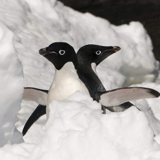
Sea ice in the Bering Sea and Bering Strait region has been forming later in the year and melting earlier for the past decade. The resulting longer window of open water around the Arctic, combined with other variables such as increasing trade and resource development, has led to a growth in vessel traffic.
Indigenous peoples, maritime experts, and conservationists have voiced concern that the increased traffic could have an adverse impact on ecosystems, wildlife, and communities. Now a new study shows that measures implemented to prevent such damage and disruption are working, at least to an extent.
As vessel traffic increases, most large ships are following new routes through the Bering Sea and Bering Strait that avoid sensitive marine habitat and reduce the risk of accidents or interference with subsistence activities, according to an Alaska environmental consulting firm.
The Nuka Research and Planning Group studied how ships are abiding by international vessel traffic measures that went into effect in 2019. The International Maritime Organization (IMO)—the United Nations agency that regulates shipping—adopted the new routes and designated three environmentally and culturally sensitive areas that vessels should avoid.
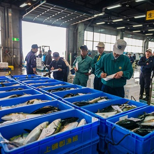
The measures are recommended primarily for larger ships—those over 400 gross tons, which is about the size of a large, ocean-going tugboat. They do not prohibit ships engaged in commerce and subsistence hunting from operating in the region, including within the areas to be avoided.

The results
A map of all vessel activity transmitted by ships’ automatic information systems, or AIS, from June through October 2019 shows ships traveling all over the region and neither favoring the newly recommended routes nor staying out of areas to be avoided. AIS data alone may not tell the full story: Not all vessels use AIS consistently to broadcast their location; many fishing vessels use only a technology called vessel management system (VMS), and Nuka did not include VMS data in its study because that information is not publicly available.
By breaking down the activity by ship type, the maps show a different picture. Large ships transiting the area and not making stops generally stuck to the IMO-recommended route. These ships include bulk carriers, oil and liquified natural gas tankers, and other cargo ships.

Ships doing business in the region might follow the IMO routes, depending on the ship type. For instance, oil tankers typically used the new routes until diverting to make a port call to transfer fuel near a community.

Other diversions from the recommendations are seen from fishing vessels, cruise ships, tugs, and research vessels engaged in local trade or activities. These type of vessels generally did not follow the route or stay out of the areas to be avoided and would not necessarily be expected to do so. That’s because they fall outside the size of vessel recommended to abide by the measures or they are doing business in the area. The measures were not meant to hinder commerce, but rather to organize ships into a predictable path as traffic increases over time.
Looking ahead
The IMO’s recommended routes and areas to be avoided are a first step toward protecting Arctic environments and people but, because the measures target larger vessels in transit, they do not address all the concerns expressed by Indigenous communities in the region. Additional guidelines specific to vessel type or activity, or area-specific rules, may be needed to reduce the risks posed by vessels doing business around the northern Bering Sea and Bering Strait.
Eleanor Huffines leads The Pew Charitable Trusts’ U.S. Arctic work from Anchorage, Alaska.


ADDITIONAL RESOURCES
Article
Article